All Projects

A Wilder Walkmill

Catchment Partnerships
River Cocker

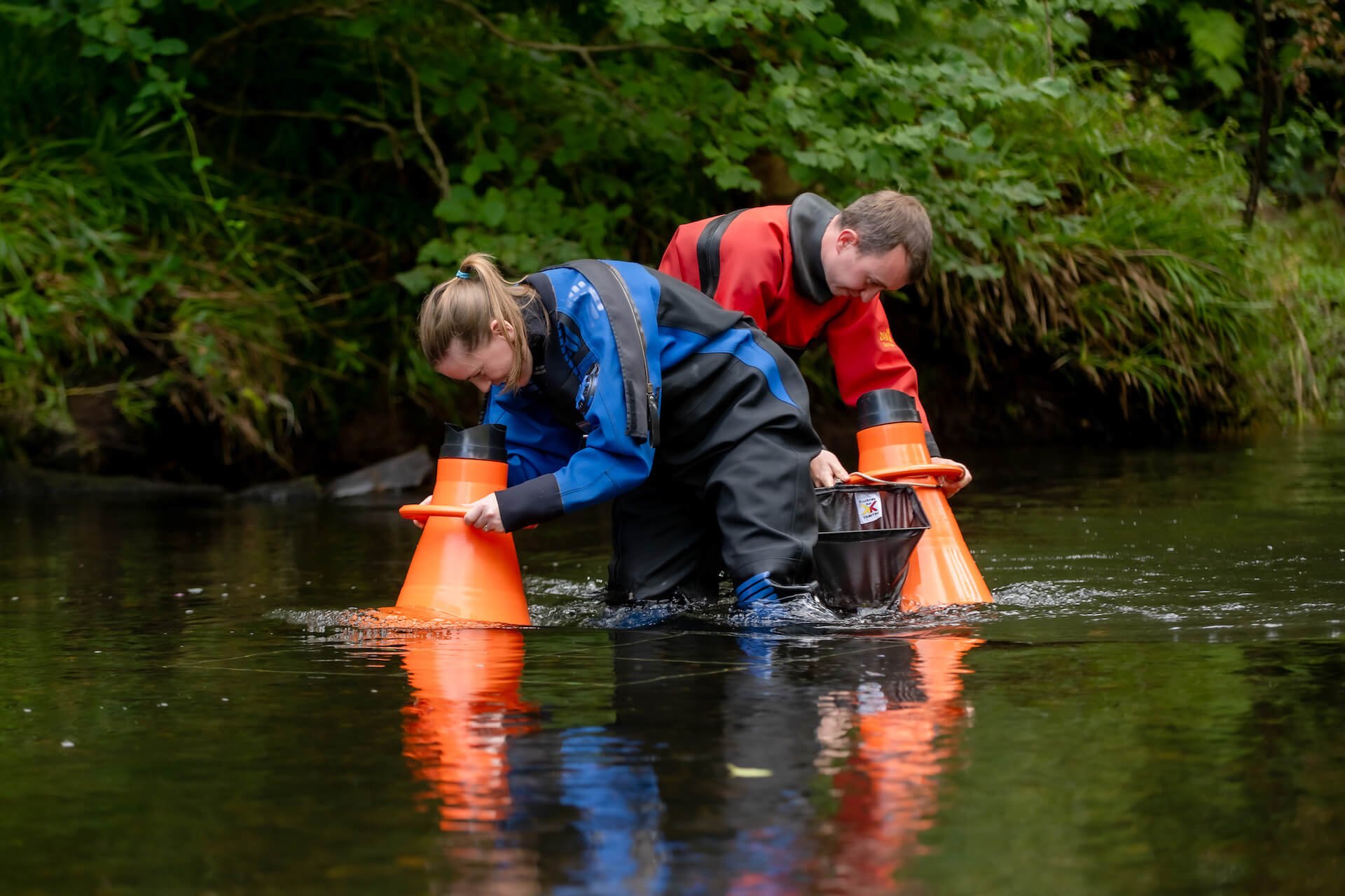
Fish & Habitat Surveys

Invasive Non-Native Species (INNS)

Longlands Lake

Resilient Glenderamackin

River Ehen

River Irt

St John’s Beck

Toad Patrol

Loweswater

Rivers Waver & Wampool

Dubwath Beck

Project Archive

Woodlands For Water