Waver Wampool Farming Futures
Healthy roots, rivers and revenues
The catchment
This project, in partnership with local farmers, aims to support sustainable practices that protect soil, improve water quality and help future proof farming businesses.
Our goal is to support land managers to create a resilient, productive landscape that benefits rural communities and wildlife for generations to come.
The catchment
Nestled in north Cumbria, the Waver Wampool Catchment spans 378 km² of predominantly flat, productive farmland, with Wigton at its heart. This region is well-known for its thriving dairy, beef, and sheep farming. However, land managers are increasingly grappling with challenges such as soil erosion and compacted, waterlogged soils. The area's network of rivers and becks have also been heavily straightened over time, leading to significant ecological changes. As a result, these waterways currently fall short of achieving 'good' status under the Water Framework Directive.
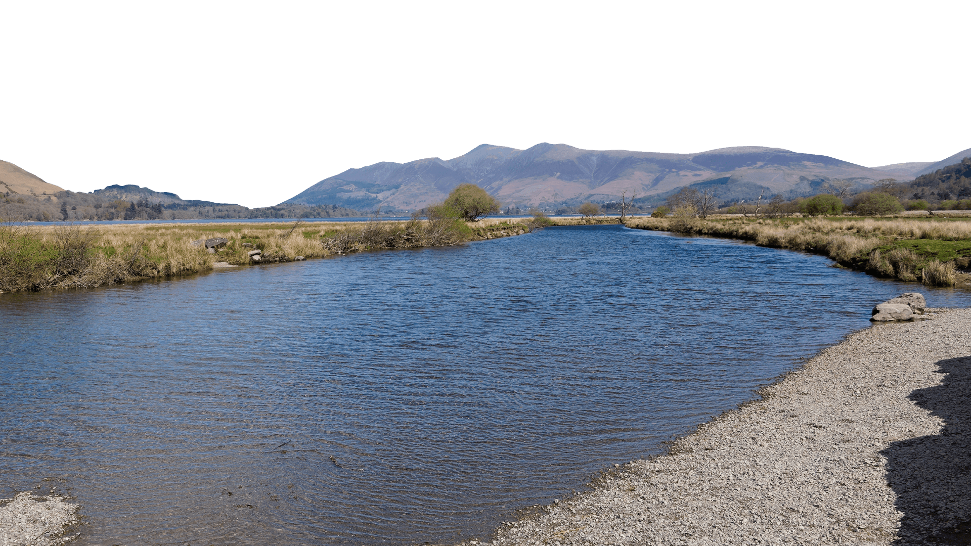
The River Waver
WRAP involvement
In 2024, we received the fantastic news that the Waver Wampool catchment was selected by WRAP (Waste and Resources Action Programme) as their next project area to achieve sustainable water and soil management. We are currently working closely with WRAP to facilitate discussions and secure funding from supermarkets and processers who share our passion to ensure sustainable food production and thriving ecosystem services within this catchment.
A new officer
To help deliver this project, WRAP have also funded a Farming Officer who was welcomed into the WCRT team at the end of 2024. Together, we are working to support the catchment’s land managers to protect and improve their soils, optimise nutrient management, baseline farm carbon, improve water quality and access public and private funding opportunities available.
Aims of the project
There are various challenges for land managers within the catchment and, working with partners, this project will support farmers to continue producing valuable yields whilst adopting nature friendly practices that will not only futureproof their farming businesses but reduce soil loss and degradation, limit nutrient loss and improve water quality.
Knowledge sharing
We’re working with land managers to shape this project, drawing on their firsthand knowledge to address and explore opportunities.
From 2025, events will feature agronomists, farm advisors and farmers sharing insights on successful farming practices.
Soil workshop in 2024
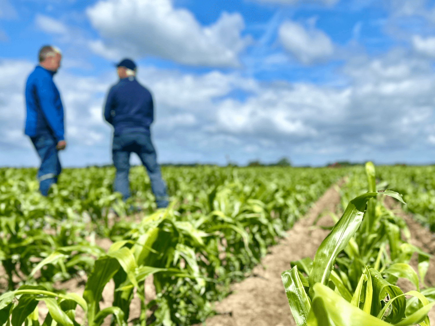
Sustainable Maize event in 2025
Sign up to our project newsletter to hear out latest news and find out about events below.
News & Events
Sign up to our newsletter
More events coming soon
Check back for new project events…
More events coming soon
Check back for new project events…
How we can help farmers
We work directly with farmers to offer practical, tailored support that improves farm resilience, protects water and soil, and helps prepare for future environmental policies.
The offer:
Expert advice on nutrient efficiency to boost productivity and reduce costs
Bespoke advice and support with accessing public and private funding opportunities
Capital grants for riparian buffer strips, constructed wetlands, and on-farm ponds
Interested in learning more? Get in touch with our Farming Officer, Tasha Pearson, for a friendly chat about what could work for your farm.

Before

After
Monitoring change
We’re proud to be the local site operator working for the Environment Agency’s first ever air sampling project. This initiative evaluates the impact of ammonia mitigation measures under the Catchment Sensitive Farming Partnership. Managed by the UK Centre for Ecology & Hydrology, the project focuses on monitoring ammonia levels near Wedholme Flow SSSI and National Nature Reserve. Each month, our team visits the catchment to replace 30 samplers located across the landscape.
If you are a local landowner or farmer in the catchment and are interested in opportunities, contact our Farming Officer, Tasha Pearson.
Waver Wampool’s ‘Farming Futures’ Project Assistant, Joe Lyall out collecting samples
Project funders


