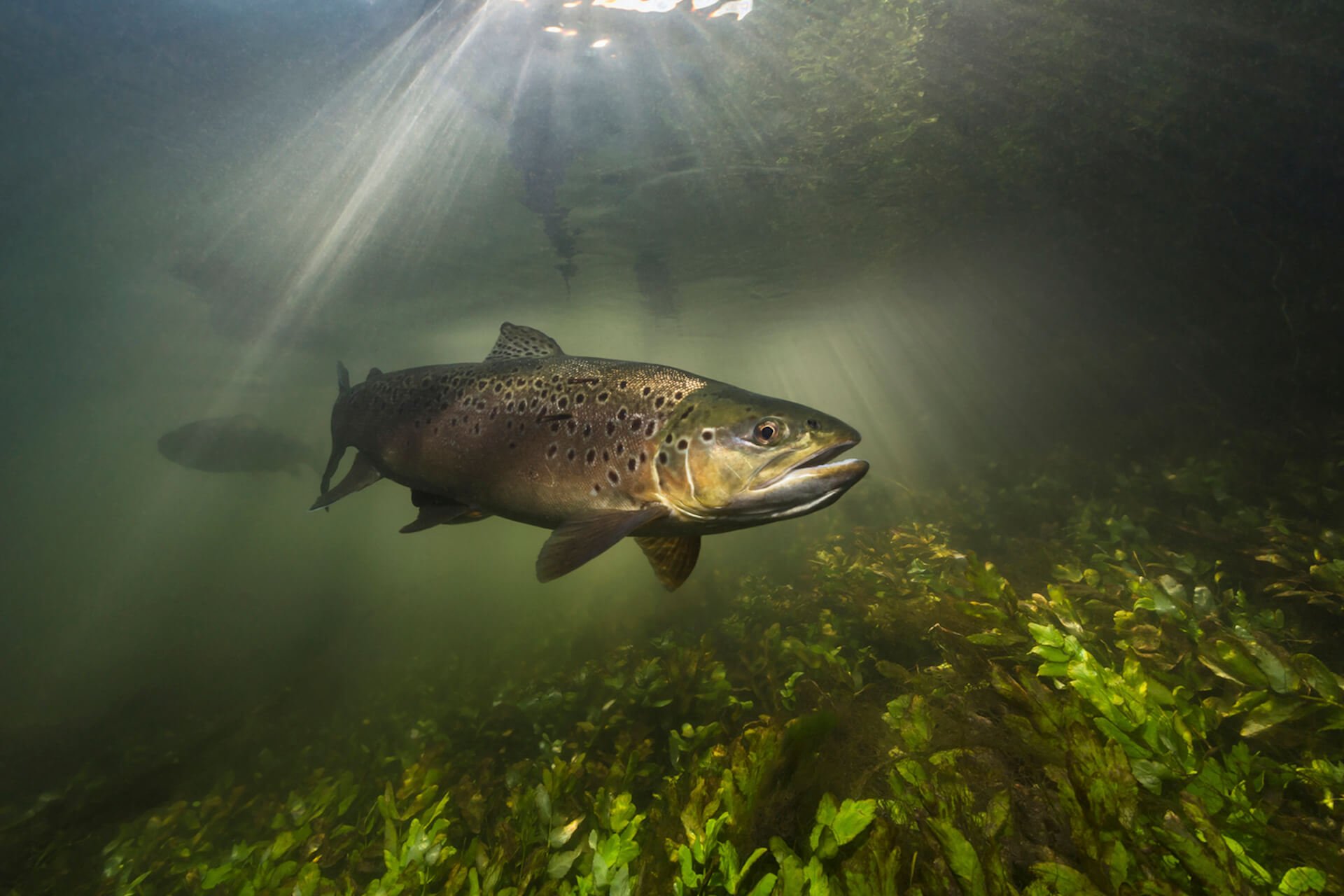
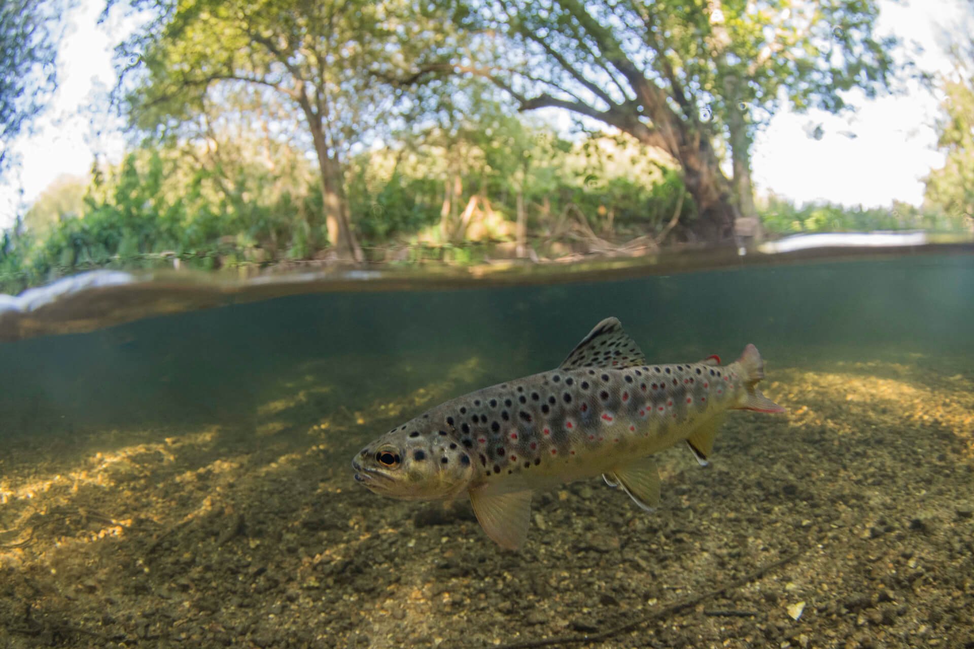
Fish & Habitat Surveys
We undertake fish and habitat surveys on rivers and becks across our patch every year to gather vital data and information about the health of our watercourses and the spawning success of juvenile Atlantic Salmon and Brown Trout that live within them. Survey results also help us identify areas that are under-performing and help secure funding for projects to improve habitat, water quality and to remove barriers, helping the fish move through the aquatic system in order to reproduce.
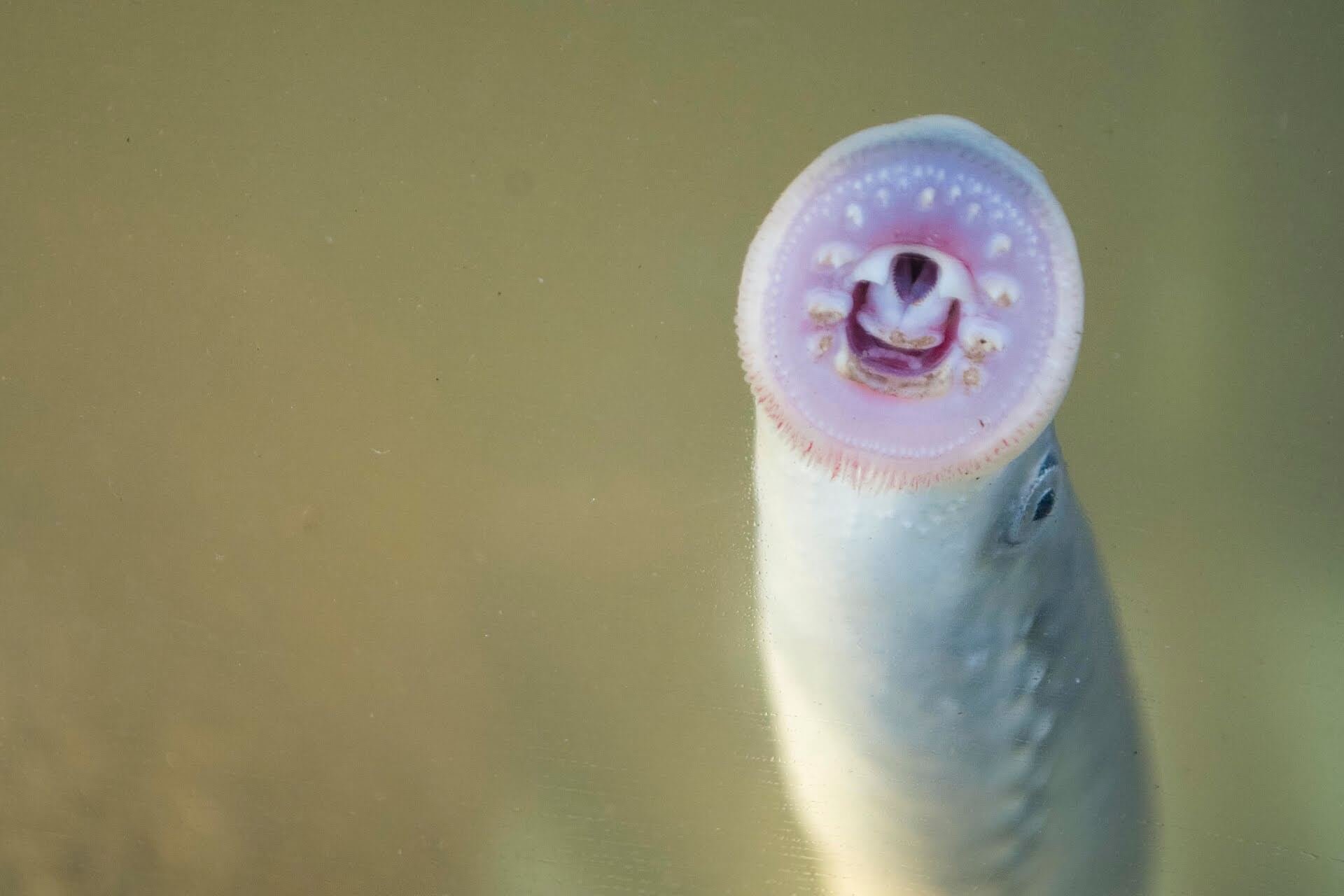
We use electrofishing techniques to conduct our surveys. An electrical current briefly stuns the fish in a small section of river allowing them to be swept into a waiting net and removed from the water for analysis. It doesn’t do lasting damage and, when done properly, the fish recover completely within a few seconds. Watch our video as we need more volunteers to help with our electrofishing surveys.
We survey the Rivers Derwent, Ehen and Irt.
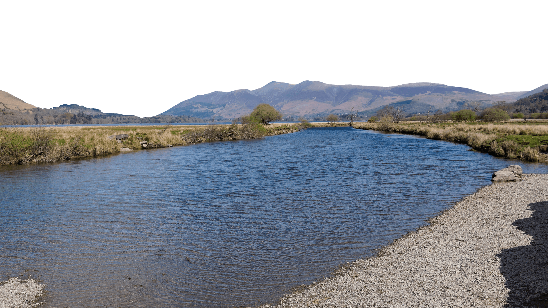
The River Derwent flows out of Styhead Tarn above the village of Seathwaite (the wettest place in England) and flows through the towns of Keswick and Cockermouth before reaching the sea at Workington. As it flows through Cumbria the river is joined by several large tributaries such as the River Greta, River Cocker and the River Marron, as well as others.
The River Ehen flows out of Ennerdale Water and through the villages of Ennerdale Bridge, Cleator Moor and Egremont, before reaching the sea near Seascale. Major tributaries include the River Liza and River Keekle as well as others.
The River Irt flows out of Wast Water in Wasdale and flows through the villages of Santon Bridge and Holmrook before joining the River Mite and River Esk in the estuary at Ravenglass. Major tributaries include the River Bleng and Lingmell Beck.
Take a look at our survey summaries and maps below.
If you would like to volunteer to undertake Electrofishing surveys, sign-up and look for Electrofishing activities.
For more information, contact Project Officer - Fisheries Ruth Mackay.
River Derwent Survey Reports
River Derwent Catchment Fish Survey Report 2015
River Derwent Catchment Fish Survey Report 2016
River Derwent Catchment Fish Survey Report 2017
River Derwent Catchment Fish Survey Report 2018
River Derwent Catchment Fish Survey Report 2019
River Derwent Catchment Fish Survey Report 2020
River Derwent Catchment Fish Survey Report 2021
River Derwent Catchment Fish Survey Report 2022
River Derwent Catchment Fish Survey Report 2023

Project funders